
Mobility Simulation
What would happen if you pedestrianise that street? What if you open a new facility here? We simulate it before you spend a euro on the intervention. With agent-based models and proprietary data.
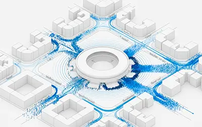
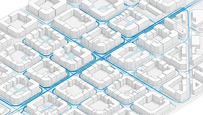
Pedestrian mobility simulation is the technique that models people's movement behaviour across the territory using agent-based models: thousands of individual agents following decision rules on a real road network. Unlike descriptive mobility analysis — which observes patterns that have already occurred — simulation predicts hypothetical scenarios: what would happen if a street is pedestrianised, a facility is opened, or the road network is modified.
unica360 builds these models with proprietary microterritorial data for administrations and companies across Europe and LATAM, without relying on origin-destination matrices supplied by the client.
We build agent-based simulation models for pedestrian mobility, vehicle flows in urban environments and their derived effects on noise pollution, air pollution and use of public space.
Each model is built from scratch on the real road network topology of the project and the population behaviour modelled at microterritorial level.
The technical edge
We build origin-destination matrices from scratch
We don't need the administration to provide a prior study or telecom data: we build mobility behaviour from our own proprietary microterritorial models. This removes a common entry barrier in simulation projects.
Pedestrian mobility focus
The vehicle simulation market is heavily saturated by traditional traffic engineering firms. The pedestrian simulation space, at street-level granularity, is far less served and is the most relevant for contemporary urban planning projects: pedestrianisation, superblocks, urban mobility plans (PMUS), the 15-minute city.
Proprietary microterritorial data
The models are built on microtarget's microterritorial indicators: 200+ variables at 100m grid level. We don't rely on third-party telecom data, with its privacy limitations, temporal resolution constraints and provider dependency.
Applications
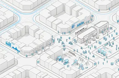
Pedestrianisation and traffic calming
We simulate the impact of traffic restrictions before implementation: displaced flows, effect on local retail, changes in resulting pedestrian mobility.
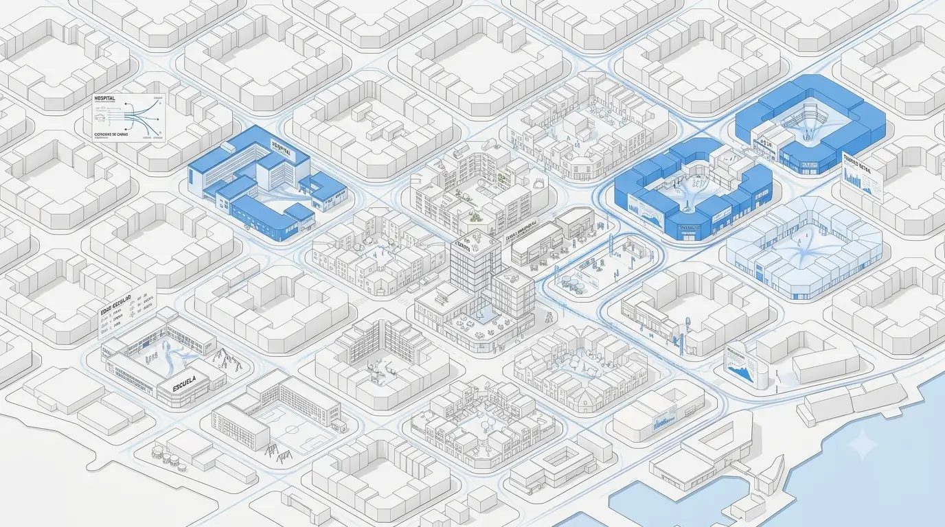
Urban, commercial and tourist developments
We model the mobility behaviour a planned development will generate: shopping centres, new residential neighbourhoods, public facilities, tourist hubs.
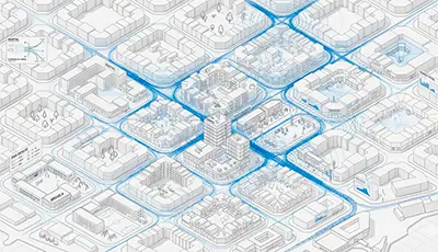
Environmental and noise pollution
Vehicle flow models feed emissions and noise analysis derived from intervention impact assessment.
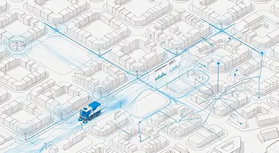
Urban services optimisation
We size and locate street lighting, cleaning and maintenance based on real and simulated public space usage flows.
Events with peak attendance
We simulate mobility behaviour on event days (concerts, mass gatherings, peak tourist season) for security, access and service planning.
Sustainable mobility planning
Support models for drafting Sustainable Urban Mobility Plans, including simulating measures before their inclusion in the plan.
How we deliver it
Ad-hoc project sized to the specific case: spatial scope, level of detail, scenarios to compare. The typical deliverable combines:
Simulation model built on the project's real road network.
Quantitative comparison of simulated scenarios against the baseline scenario.
Visualisations and maps suitable for presentation to technical and political committees.
Technical report with methodology, parameters and model validation.
Boundary vs Mobility & Urban analytics
This line works on predicting hypothetical scenarios through simulation. If your project needs to analyse mobility patterns already observed — real OD matrices, 15-minute city measurement, existing supply, detected tourist flows — the right line is urban mobility analysis.

References & publications
Our methodology is backed by our own publications and reference projects in agent-based simulation applied to urban contexts.
The blog includes the pedestrian simulation case developed in Mexico and a technical introduction to agent-based human mobility simulation.
Working with or for an administration?
FAQ
What urban scenario do you need to simulate?
Tell us about your project. We'll assess the scope and size the proposal within 48 hours.