
Geodata into Value
We turn territory data into business decisions. Geomarketing, location intelligence and geoanalytics services for Europe and LATAM.
Geomarketing and geoanalytics is the discipline that combines geospatial data, advanced analytics and predictive modelling to make territory-based business decisions: where your customers are, where to open, where to invest, where the risk lies.
unica360 is a geoanalytics company based in Barcelona operating across Europe and LATAM, with its own proprietary microterritorial geodata.
The data
100m grid, 200+ variables, nationwide coverage. The most granular geodata available for Europe and LATAM. Built by us.
The services
Modelling, simulation and prediction applied to organisations' complex problems. No off-the-shelf recipes.
The difference
Others describe the territory. We explain how people behave in it. That difference turns a map into a decision.
unica360
We do the work for you.
View services

microtarget
Access the data directly.
Explore the data — API / Dataset / App

They trust us










Street-level geodata. Ready to use.
Geomarketing data ready to integrate. API, dataset or app. No project services, no friction.
Success stories
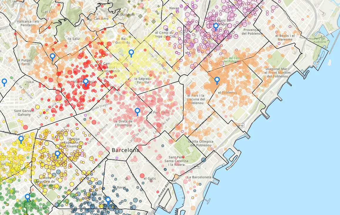
Language franchise expansion
They needed to choose locations for their franchisees that would maximise both access to the target audience and the number of viable franchises.
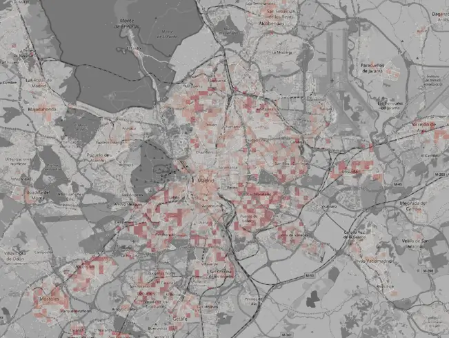
Predicting real estate supply
They needed to anticipate where new supply — homes for sale or rent — would appear, to decide where to open offices and target their marketing.
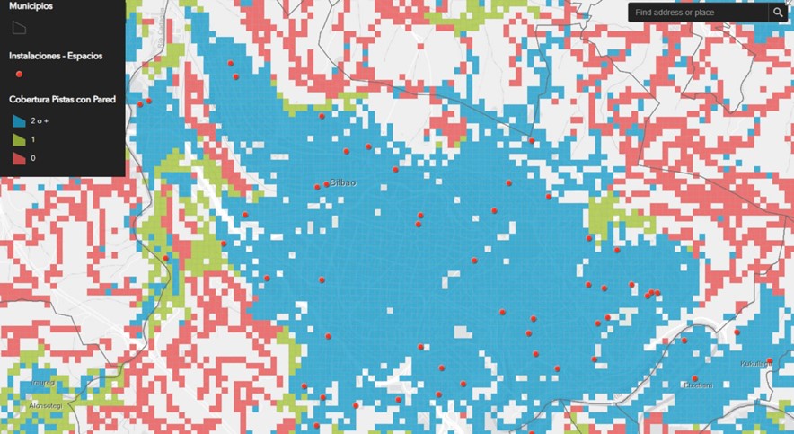
Demand for sports facilities
They needed to measure real sports facility coverage across municipalities and estimate demand for new facilities.
FAQ
Let's talk
If you have a problem to solve and think territory data could help, tell us about it. We'll let you know within 48 hours if — and how — we can help.