
Risk & Data Enrichment
A customer isn't just their transaction history. They're also where they live, what kind of neighbourhood, what average income, what mobility. That context improves any risk model.
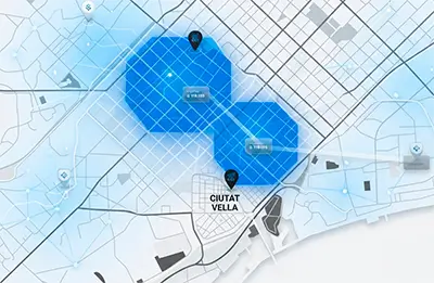
Data enrichment for territorial scoring consists of adding geospatial variables — income, type of habitat, accessibility, mobility, housing typology — to credit risk, scoring and automated valuation models. These environmental variables explain behaviours that transactional data doesn't capture and improve the predictive capacity of any model.
unica360 carries out this enrichment with proprietary microterritorial data at postal address and 100m grid level for Europe and LATAM.
We enrich your risk, scoring and valuation models with microterritorial environmental variables your database doesn't have:
income
type of habitat
probability of having children
housing type
mobility
building construction quality
Variables that explain behaviour and reduce uncertainty.
Applications
Credit scoring
We add environmental context to the applicant's profile. The same declared income has a different meaning in a high-centrality urban area than in a peripheral one.

Automated valuation (AVM)
We enrich each property with indicators of its environment: commercial, residential, tourist, green area access, pedestrian traffic.

Default prediction
The territory a customer lives in is a relevant predictive variable. We use it.

Insurance risk segmentation
Accident rates, theft, housing type, urban density. Environmental variables that improve pricing.
The data
Average area income
Type of habitat
Housing typology and quality
Retail density
Mobility
Floating population
FAQ
Does your scoring model account for territory?
Ours does. And we integrate it into yours.