
Customer Intelligence
Your customers have an address. That address says more about them than any survey. We use it to segment, predict and acquire with precision.
Customer segmentation with territorial data is the process of analysing the customer base enriched with geospatial variables — income, type of habitat, mobility, retail supply — to understand who they are, how they behave and how to act on them more effectively.
unica360 applies customer intelligence combining a company's internal data with proprietary microterritorial geodata. The result: segmentation, prediction and acquisition models with a granularity no generalist company can build.
Customer segmentation with geodata. We combine your customer data with our microterritorial geodata to build a complete picture of who your customer is and how they behave:
who to target
with what message
at what moment
through which channel
Territorial enrichment can be integrated directly into your stack via API.
Applications
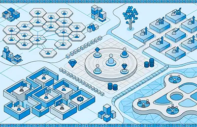
Strategic segmentation
We define customer groups with real business logic, not just statistics. Each segment has its own strategy.

Churn prediction
We identify which customers are about to churn before it happens. Enough time to act.
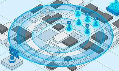
Optimal acquisition
We find the profiles in the territory most likely to become your best customers, no wasted investment.
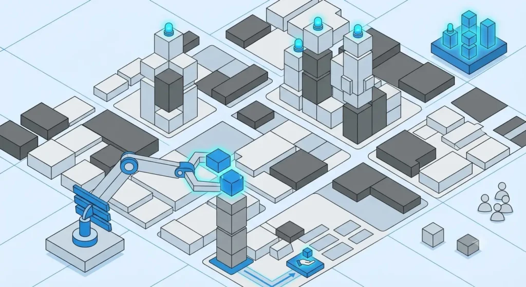
Cross-sell and up-sell
We detect which product is missing for each customer, so we offer what they're actually most likely to buy.
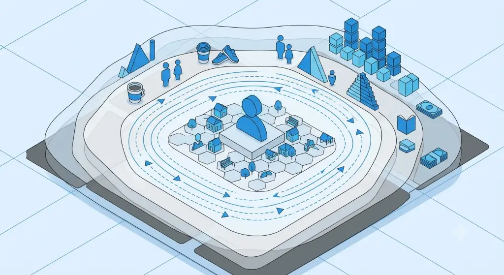
CRM enrichment
We add territorial context to each customer: income, type of housing, mobility, lifestyles. Variables your CRM doesn't have and that explain behaviour.
Street-level geodata. Ready to use.
We enrich each customer with microtarget's indicators. Where do they live? What type of neighbourhood is it? What commercial access do they have? Variables that explain behaviour better than any survey.
FAQ
¿Sabes quiénes son realmente tus mejores clientes?
Podemos responder esa pregunta con datos. Y decirte dónde encontrar más como ellos.