
Nombre del autor:Guillermo Córdoba Recio

Location Intelligence, Movilidad & Urbanismo

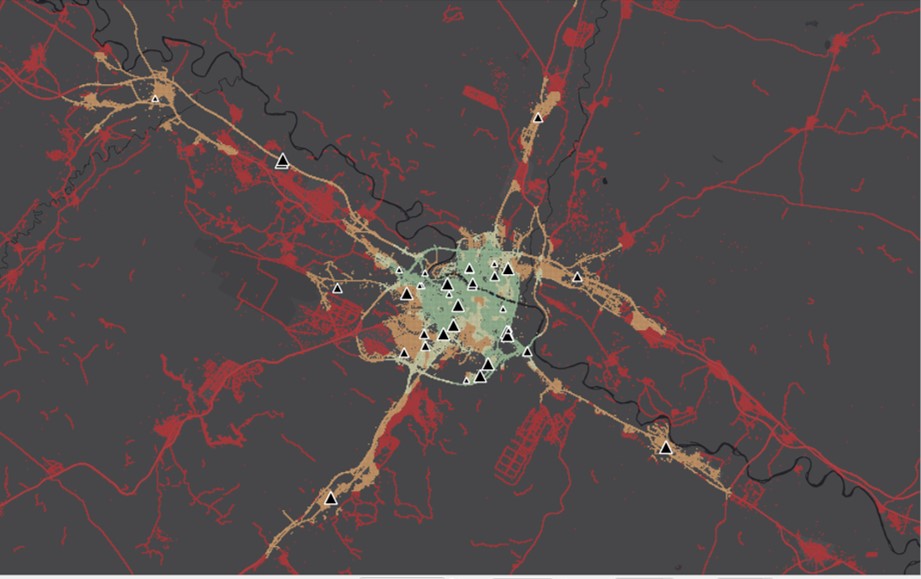
Walking traffic estimation for location intelligence in Portugal

The analysis of pedestrian traffic usually begins with an apparently simple question: how many people pass by this point? That question starts from a conceptual limitation. It measures a specific phenomenon without first understanding the system that generates it. Human beings deciding to take routes from one location to another for a purpose.


trafico_vehiculos
Movilidad & Urbanismo

Vehicle Traffic Simulation: Applications in Location Intelligence

Estimating and simulating vehicle traffic by road segment provides key information for a wide variety of analytical projects. From the demand for service stations and restaurants to the design of transport networks and out-of-home advertising audiences. Below, we look at some examples. Vehicle Traffic Simulation Methodology We have developed a road traffic simulation, which is

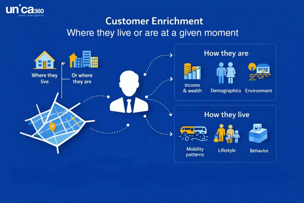
geoenrichment_api_customer_enrichment
Location Intelligence

Geoenrichment API for Location Intelligence: Microterritory Data at Scale

Organizations increasingly rely on location intelligence data to understand markets, optimize networks of physical locations, and model demand across cities and regions. Retailers, financial institutions, urban planners, mobility operators, and real estate platforms all face a similar challenge: the value of their analytics depends critically on the quality, granularity, and accessibility of spatial data.

Scroll al inicio